North America · Illustrated record
Anse Chastanet
Soufrière · Saint Lucia
The short version, from the cited sources
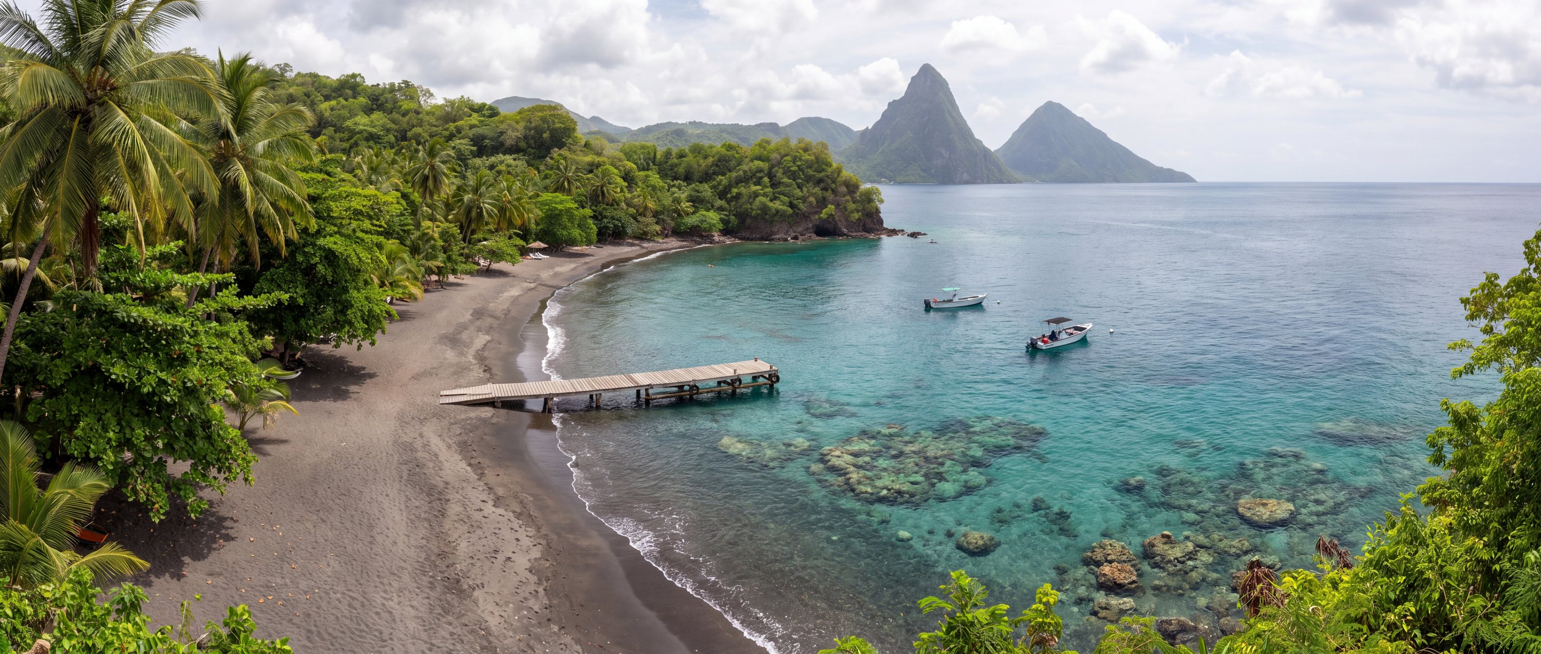
Anse Chastanet is a narrow volcanic-sand beach at the foot of a steep rainforest slope just north of Soufriere, fronted by one of Saint Lucia's richest coral reefs starting only metres from shore. The Pitons rise visibly along the coastline nearby, and the beach is reached mainly by boat or a single steep access road.
- Country
- Saint Lucia (LC)
- Region
- North America
- Administrative area
- Soufriere Quarter
- Timezone
- Not available from source
- Source family
- Beach Atlas editorial record
- Source updated
- Snapshot date only
Names in the record
Anse Chastanet
No alternate names were supplied by the source.
Awaiting editorial review
Not yet recorded for this beach
- Sand color and composition
- Water and swimming character
- Access and accessibility
- Facilities and lifeguards
- Seasonality and crowd pattern
- Current hazards and restrictions
- Live weather, tide and water-quality feeds
Source position
13.85540, -61.07580
The map uses the coordinate supplied by the cited record. Local access and water entry are not implied.
Direct provenance
Sources behind this record
The source’s own accuracy and completeness disclaimer applies. Submit a correction if this point represents an alias or duplicate.