
region · 1 reviewed profile · 39 sourced records within 60 km · 3 photographs
The Whitsundays
A Queensland island group where protected reef waters, silica sand and sailing routes meet.
Open regional atlas →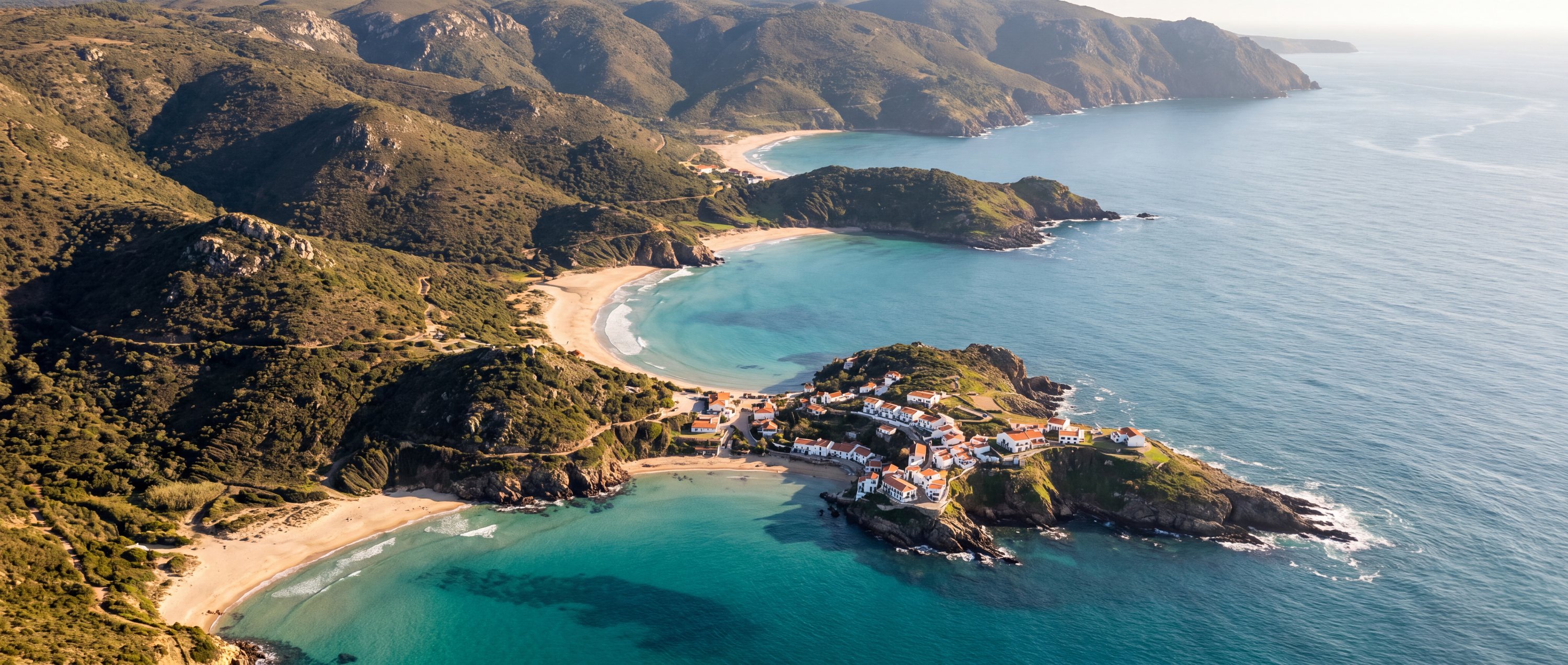
Where to go
Each one gathers the beaches along a stretch of coast, with what the sea does there, the best months to go and how to get around once you arrive.
A Queensland island group where protected reef waters, silica sand and sailing routes meet.
Open regional atlas →
A coast of volcanic sand, sea stacks, glacial rivers and powerful North Atlantic exposure.
Open regional atlas →
The main visitor island of Turks and Caicos, with a long developed north shore and extensive shallow turquoise water.
Open regional atlas →
A meeting place of granite coves, cold ocean water, protected habitats and exposed Atlantic and False Bay coasts.
Open regional atlas →
Greece’s largest island combines exposed northern shores, protected southern coves and lagoon-like shallows.
Open regional atlas →
A cool-water Pacific coast of sea stacks, wide tidal beaches, headlands and weather that changes the view by the hour.
Open regional atlas →
Southern Portugal’s limestone coast alternates open sand with coves cut between arches and cliffs.
Open regional atlas →
An urban beach city where neighborhood life, mountains, surf and dense transit meet directly at the sand.
Open regional atlas →
A small Puerto Rican island of protected coves, coral habitat and beaches reached by ferry or short flight.
Open regional atlas →
A long Philippine island province of limestone islands, reefs, fishing communities and long tropical beaches.
Open regional atlas →
A geologically young island with black, green and pale sand shorelines shaped by lava, surf and living reef systems.
Open regional atlas →
A granitic Seychelles island known for sculpted boulders, shallow lagoons and bicycle-scale travel.
Open regional atlas →
A warm Indian Ocean coast with reef-backed beaches, tidal flats and coastal forest.
Open regional atlas →