Indian Ocean · Field guide
Anse Source d’Argent
L’Union · Seychelles
The useful short version
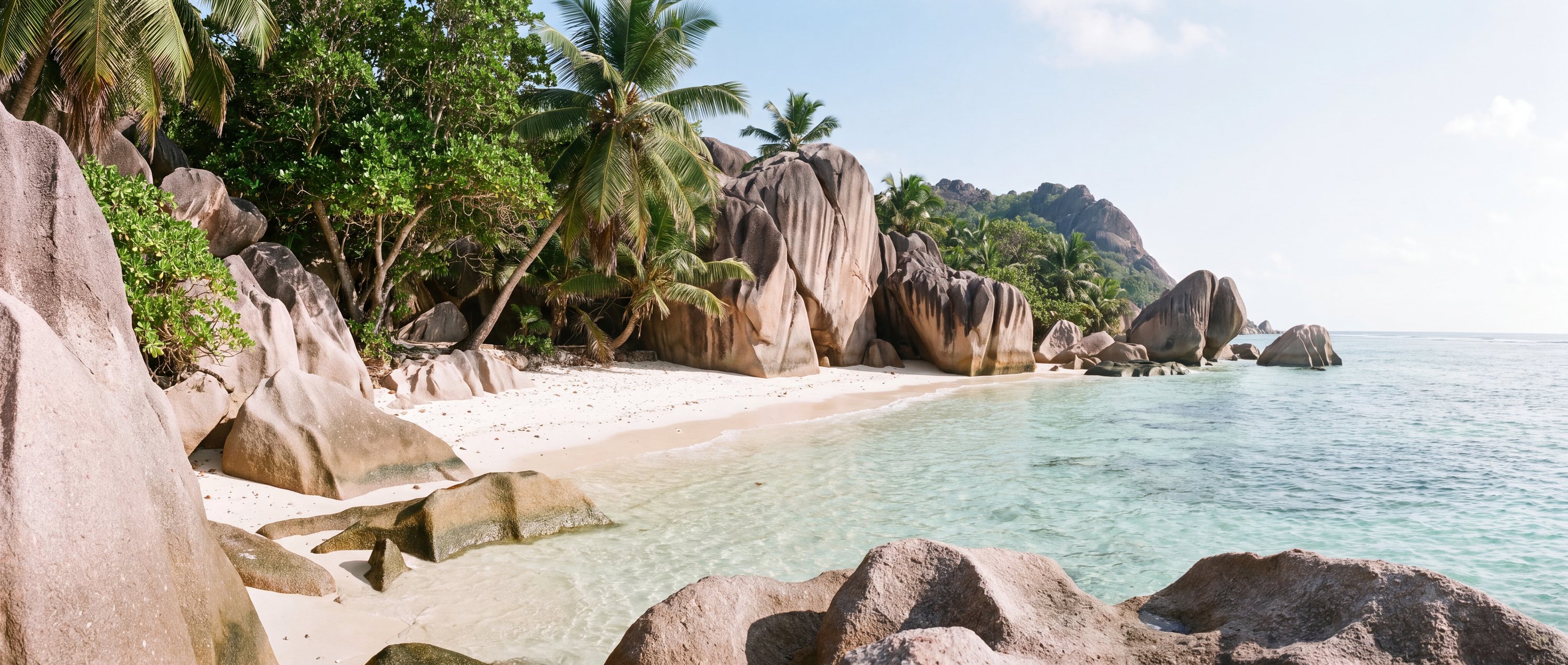
A shallow, boulder-framed shore on La Digue where pale sand, granite forms and reef-filtered water create a highly distinctive landscape.
Photography as evidence
The character of Anse Source d’Argent
Each image is tied to this place and carries a reviewed commercial-use license record.

.jpg)


Conditions & seasonality
What the year does to the light.
The atlas holds no live feed for weather, water temperature, waves, tides or water quality at Anse Source d’Argent, and will not print a believable default in place of one. Two things can be said honestly: the shape of the year at this latitude, and exactly where to check the day itself.
Before the sand
Access, use & constraints
A practical field is only as strong as its source and verification date.
- Access
- Through L’Union Estate area; current entrance terms unverified
- Accessibility
- Sandy and rocky routes; unverified
- Parking
- Bicycle and foot access are more typical
- Lifeguards
- Not verified
- Crowd pattern
- High visitor pressure at popular times
- Coast type
- Granitic island lagoon
- Orientation
- West-facing
- Surfing
- Not a primary surf beach
Read before visiting
What changes the decision
Tide alters depth and exposed reef
Avoid standing on coral or disturbing wildlife
Reef-associated marine life
Geography
-4.36747, 55.82647
This marker uses the verified coordinate in the record; no approximate fallback is shown.
Provenance
Sources behind this profile
Dynamic facts are not implied by these static sources. Retrieval and confidence stay attached to each record.
- Anse Source d’Argent place recordOpenStreetMap contributors ↗
Coordinate and geographic identity record; access fees and opening hours remain unverified.
Verified Secondary · Retrieved 2026-09-01 - OpenStreetMap place and coordinate dataOpenStreetMap contributors ↗
Coordinates checked through the Nominatim service; map data remains attributable to OpenStreetMap contributors.
Verified Secondary · Retrieved 2026-09-01
Continue by relationship
Similar context, different coast
Related records share geography, sand character or activities. They are not random links.
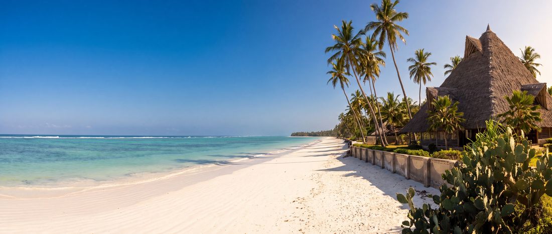
- Sand
- White
- Water
- Warm reef-influenced water;...
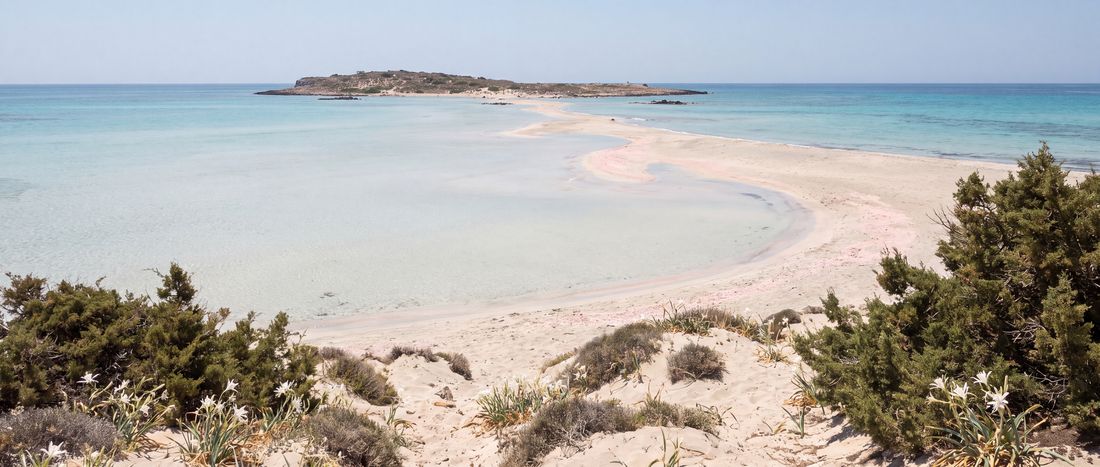
- Sand
- Pale with localized pink tones
- Water
- Very shallow lagoon water in places
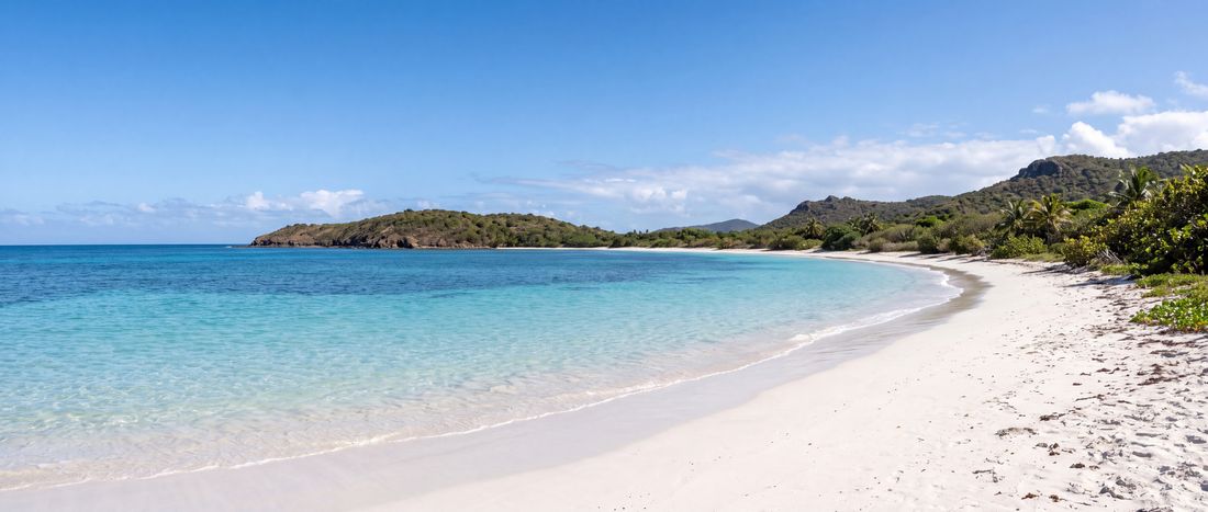
- Sand
- White
- Water
- Clear tropical water; swell varies