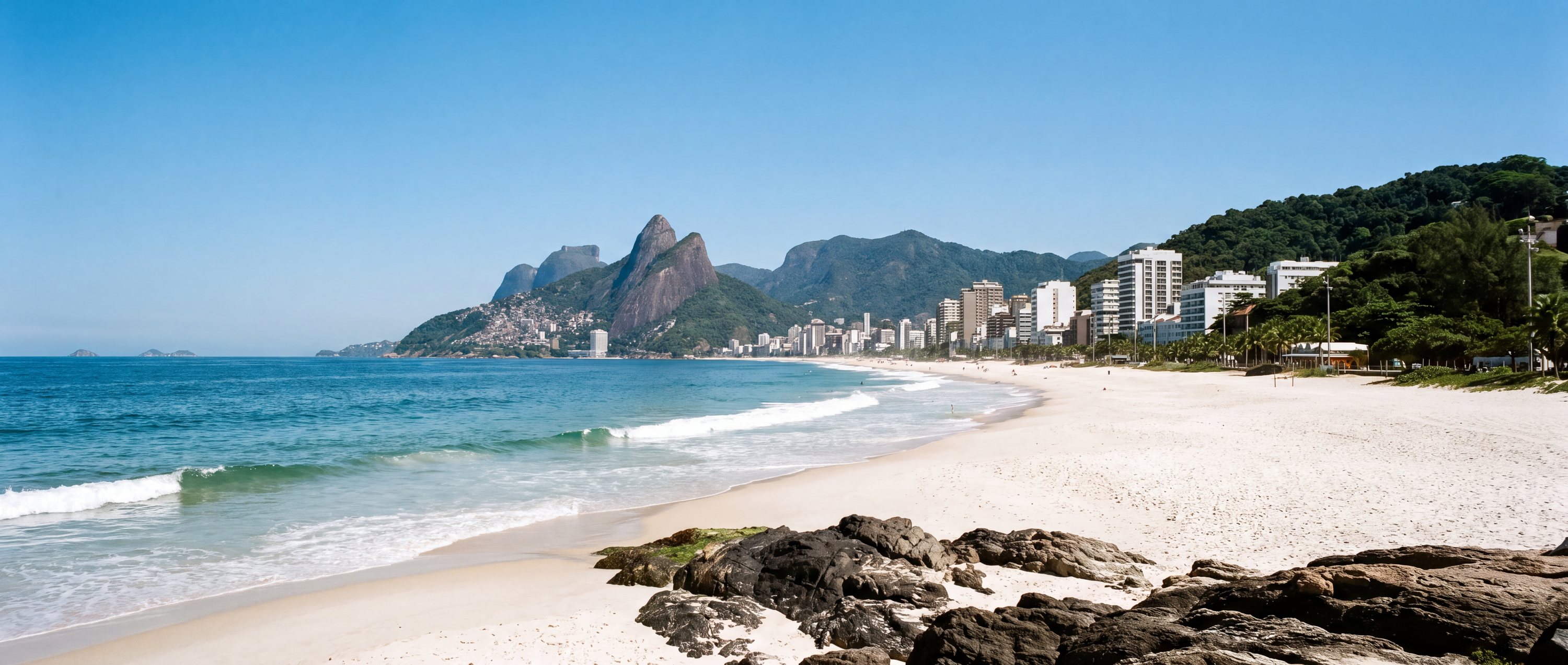
South America · Field guide
Ipanema Beach
Rio de Janeiro · Brazil
The useful short version
An intensely urban beach where neighborhood culture, mountain views, football, exercise and Atlantic surf share the same long strip of sand.
Photography as evidence
The character of Ipanema Beach
Each image is tied to this place and carries a reviewed commercial-use license record.


Conditions & seasonality
What the year does to the light.
The atlas holds no live feed for weather, water temperature, waves, tides or water quality at Ipanema Beach, and will not print a believable default in place of one. Two things can be said honestly: the shape of the year at this latitude, and exactly where to check the day itself.
Before the sand
Access, use & constraints
A practical field is only as strong as its source and verification date.
- Access
- Excellent urban access
- Accessibility
- Promenade access is strong; sand access varies
- Parking
- Urban parking is constrained; transit is preferable
- Lifeguards
- Guard posts are present; operating coverage should be checked
- Crowd pattern
- Busy, social and highly variable by time and section
- Coast type
- Open urban oceanfront
- Orientation
- South-facing
- Surfing
- Active surf culture; conditions vary by post and day
Read before visiting
What changes the decision
Rip currents and surf
Secure valuables
Check current water-quality notices
Geography
-22.98361, -43.20444
This marker uses the verified coordinate in the record; no approximate fallback is shown.
Provenance
Sources behind this profile
Dynamic facts are not implied by these static sources. Retrieval and confidence stay attached to each record.
- IpanemaWikipedia contributors ↗
Used for geographic identity and urban context; daily water and surf conditions are not inferred.
Verified Secondary · Retrieved 2026-09-01 - OpenStreetMap place and coordinate dataOpenStreetMap contributors ↗
Coordinates checked through the Nominatim service; map data remains attributable to OpenStreetMap contributors.
Verified Secondary · Retrieved 2026-09-01
Continue by relationship
Similar context, different coast
Related records share geography, sand character or activities. They are not random links.
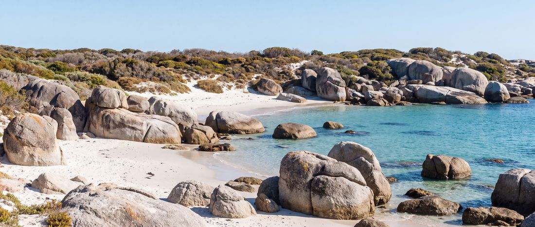
- Sand
- Pale beige
- Water
- Cool False Bay water; conditions vary

- Sand
- Tan
- Water
- Cold Pacific surf
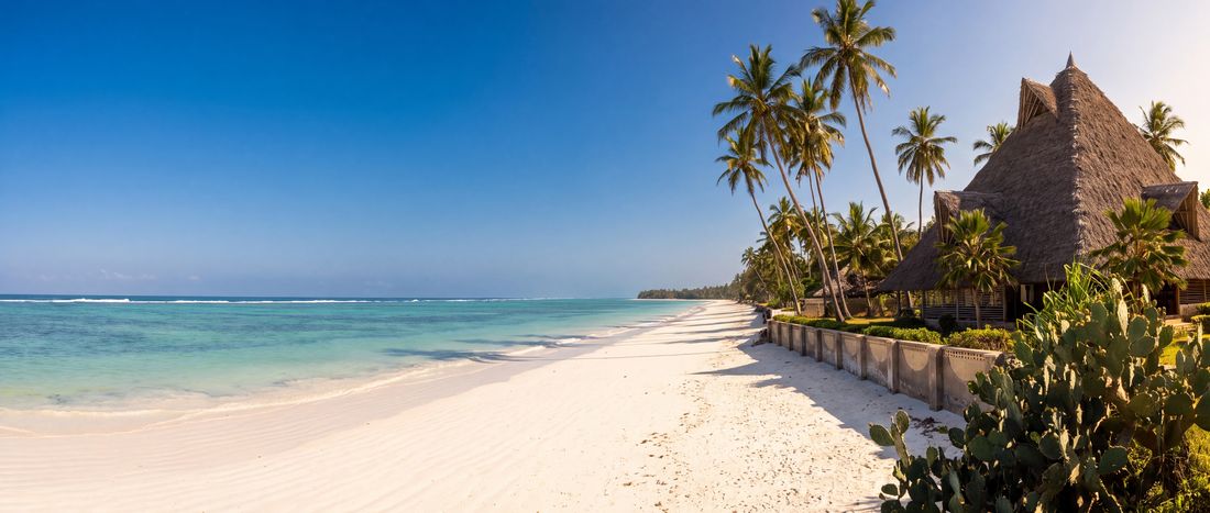
- Sand
- White
- Water
- Warm reef-influenced water;...