North America · Illustrated record
Playa Balandra
La Paz · Mexico

The short version, from the cited sources
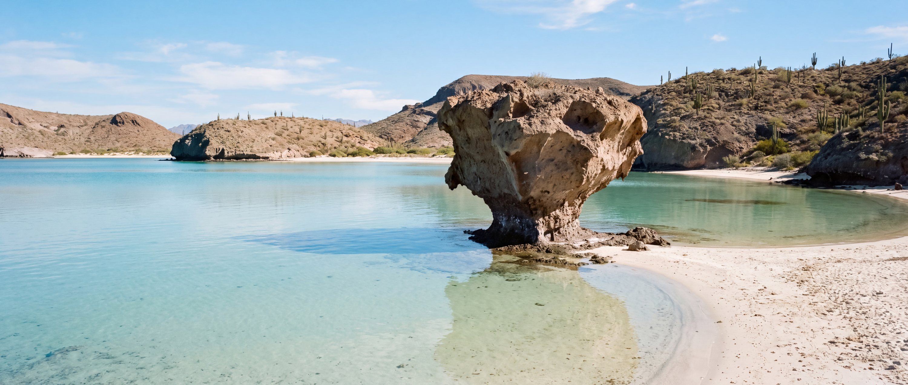
Balandra, north of La Paz in Baja California Sur, is a shallow lagoon system where clear water spreads knee-deep over white sand between desert headlands, and walkers can wade across most of the bay. It is a federally protected natural area with daily visitor sessions and capacity caps, no permanent development, and a mushroom-shaped balancing rock that serves as its emblem. The surrounding Gulf of California is among the world's richest seas.
- Country
- Mexico (MX)
- Region
- North America
- Sand
- White
- Water
- Knee-deep, glassy lagoon water
- Administrative area
- La Paz
- Timezone
- Not available from source
- Source family
- Beach Atlas editorial record
- Source updated
- Snapshot date only
Names in the record
Playa Balandra
No alternate names were supplied by the source.
Awaiting editorial review
Not yet recorded for this beach
- Access and accessibility
- Facilities and lifeguards
- Seasonality and crowd pattern
- Current hazards and restrictions
- Live weather, tide and water-quality feeds
Source position
24.32100, -110.32600
The map uses the coordinate supplied by the cited record. Local access and water entry are not implied.
Direct provenance
Source behind this record
The source’s own accuracy and completeness disclaimer applies. Submit a correction if this point represents an alias or duplicate.
- Wikipedia beach articlesWikimedia Foundation ↗
Encyclopedia articles used for the editorial summary of illustrated records; the per-record citation links the specific article.
Creative Commons Attribution-ShareAlike 4.0 · Retrieved 2026-10-04