Europe · Illustrated record
Playa de Benijo
Taganana · Spain
The short version, from the cited sources
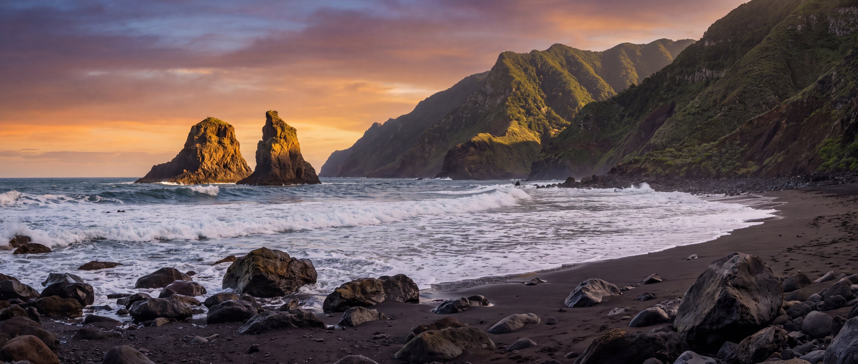
Black volcanic sand at the far end of the Anaga massif, with the Roques de Anaga standing offshore and laurel forest on the ridges above. The north coast takes the full Atlantic swell and the currents here are strong.
- Country
- Spain (ES)
- Region
- Europe
- Sand
- Black
- Water
- Strong north-coast atlantic swell
- Administrative area
- Canary Islands
- Timezone
- Atlantic/Canary
- Source family
- GeoNames
- Source updated
- 2011-09-11
Names in the record
Playa de Benijo
No alternate names were supplied by the source.
Awaiting editorial review
Not yet recorded for this beach
- Access and accessibility
- Facilities and lifeguards
- Seasonality and crowd pattern
- Current hazards and restrictions
- Live weather, tide and water-quality feeds
Source position
28.57309, -16.19350
The map uses the coordinate supplied by the cited record. Local access and water entry are not implied.
Direct provenance
Source behind this record
The source’s own accuracy and completeness disclaimer applies. Submit a correction if this point represents an alias or duplicate.
- GeoNames Gazetteer ExtractGeoNames ↗
Beach features T.BCH and T.BCHS from the dated global dump; supplied as-is by GeoNames.
Creative Commons Attribution 4.0 · Retrieved 2026-09-02