Europe · Field guide
Reynisfjara
Vík · Iceland
The useful short version
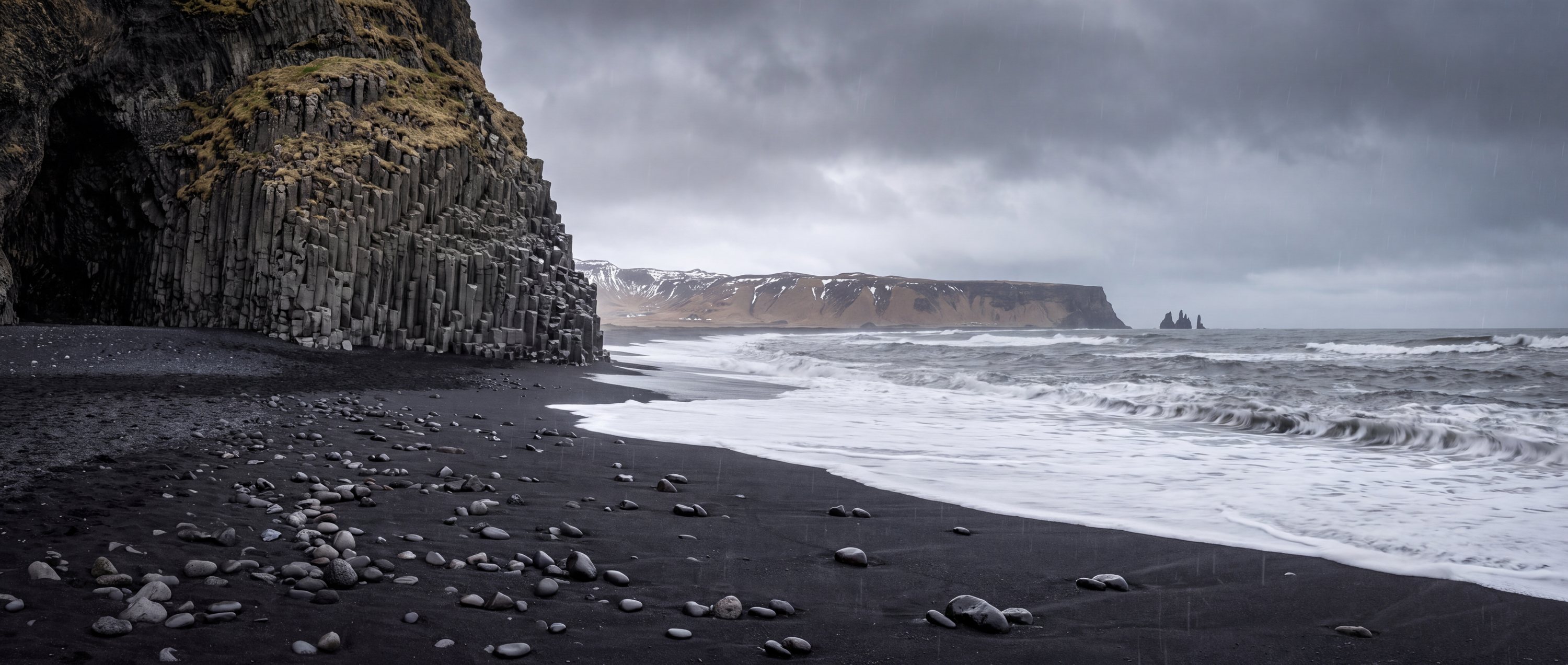
A volcanic black-sand shore framed by basalt columns and the Reynisdrangar sea stacks. It is a place to observe the North Atlantic—not a conventional swimming beach.
Photography as evidence
The character of Reynisfjara
Each image is tied to this place and carries a reviewed commercial-use license record.


.jpg)

.jpg)
Conditions & seasonality
What the year does to the light.
The atlas holds no live feed for weather, water temperature, waves, tides or water quality at Reynisfjara, and will not print a believable default in place of one. Two things can be said honestly: the shape of the year at this latitude, and exactly where to check the day itself.
Before the sand
Access, use & constraints
A practical field is only as strong as its source and verification date.
- Access
- Road access from Route 1 with local parking
- Accessibility
- Viewing conditions and surface vary; confirm locally
- Parking
- Present nearby; current controls not verified
- Lifeguards
- Not verified
- Crowd pattern
- Popular roadside stop; timing matters
- Coast type
- Exposed volcanic coast
- Orientation
- South-facing
- Surfing
- Not presented as a visitor surf beach
Read before visiting
What changes the decision
Dangerous sneaker waves
Do not turn your back on the ocean
Cold water
Geography
63.40350, -19.04740
This marker uses the verified coordinate in the record; no approximate fallback is shown.
Provenance
Sources behind this profile
Dynamic facts are not implied by these static sources. Retrieval and confidence stay attached to each record.
- ReynisfjaraWikipedia contributors ↗
Used for basalt geology, black sand and geographic identity. Safety language is deliberately conservative.
Verified Secondary · Retrieved 2026-09-01 - OpenStreetMap place and coordinate dataOpenStreetMap contributors ↗
Coordinates checked through the Nominatim service; map data remains attributable to OpenStreetMap contributors.
Verified Secondary · Retrieved 2026-09-01
Continue by relationship
Similar context, different coast
Related records share geography, sand character or activities. They are not random links.
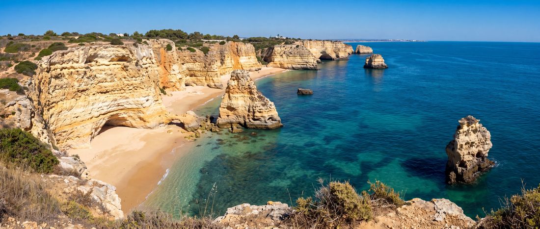
- Sand
- Golden
- Water
- Clear-looking Atlantic water;...
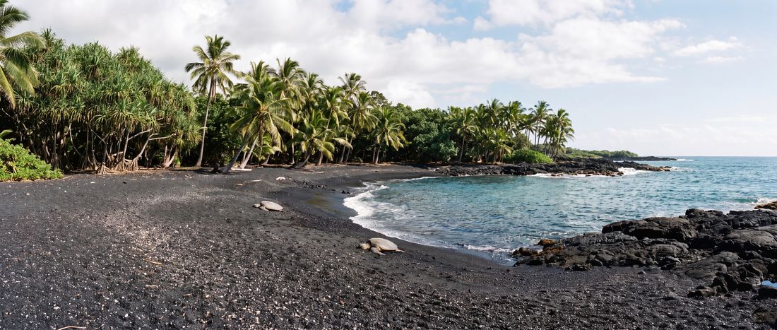
- Sand
- Black
- Water
- Open-ocean water with rocks...
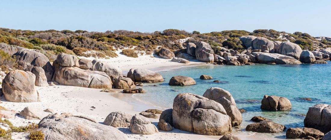
- Sand
- Pale beige
- Water
- Cool False Bay water; conditions vary