Europe · Illustrated record
Ses Illetes
Formentera · Spain

The short version, from the cited sources
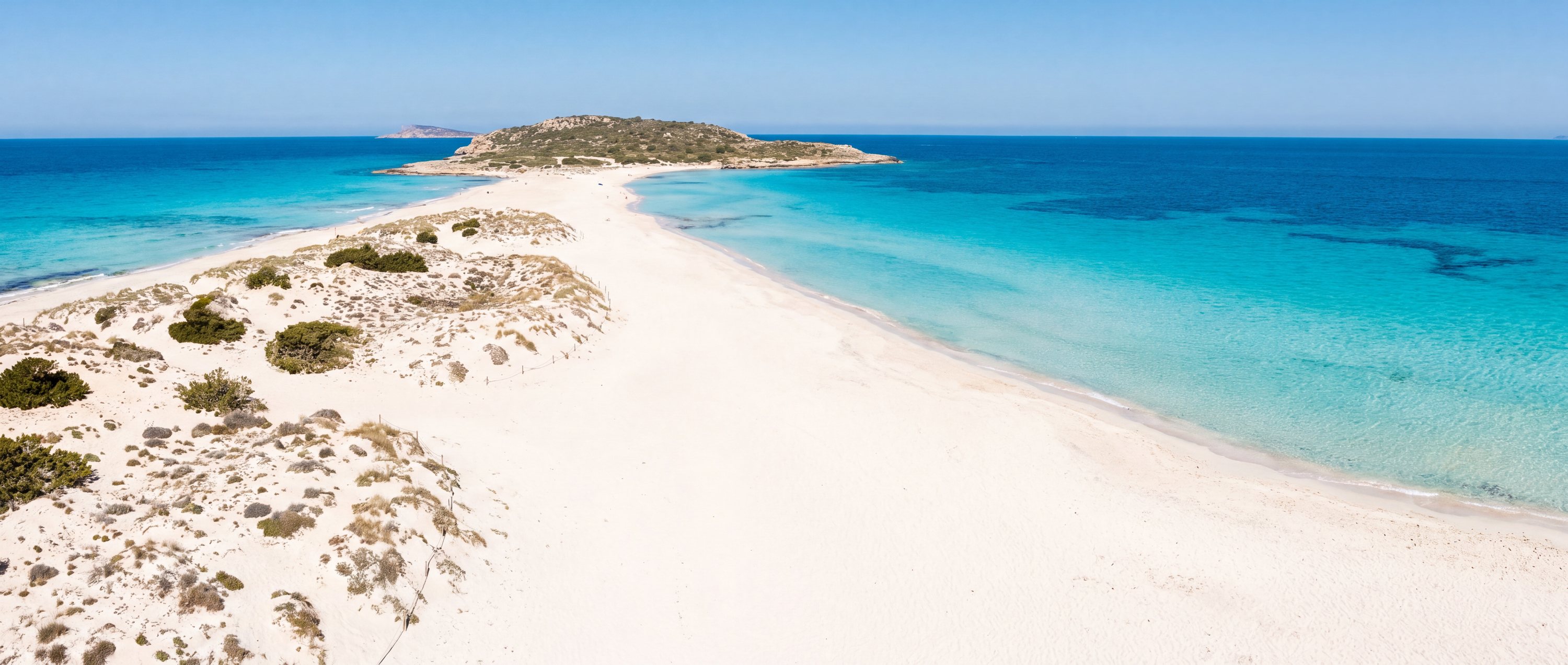
Ses Illetes occupies the narrow sand spit at Formentera's northern tip, where bars of white sand separate sheets of extraordinarily clear, shallow water on both sides. The clarity owes much to the protected Posidonia seagrass meadows offshore, part of a UNESCO-listed marine landscape, and the beach lies within a natural park with vehicle limits in high season. It is the standard evidence for the claim that the Mediterranean can look Caribbean.
- Country
- Spain (ES)
- Region
- Europe
- Sand
- White
- Water
- Caribbean-clear mediterranean shallows
- Administrative area
- Formentera
- Timezone
- Not available from source
- Source family
- Beach Atlas editorial record
- Source updated
- Snapshot date only
Names in the record
Ses Illetes
No alternate names were supplied by the source.
Awaiting editorial review
Not yet recorded for this beach
- Access and accessibility
- Facilities and lifeguards
- Seasonality and crowd pattern
- Current hazards and restrictions
- Live weather, tide and water-quality feeds
Source position
38.75000, 1.43200
The map uses the coordinate supplied by the cited record. Local access and water entry are not implied.
Direct provenance
Source behind this record
The source’s own accuracy and completeness disclaimer applies. Submit a correction if this point represents an alias or duplicate.
- Wikipedia beach articlesWikimedia Foundation ↗
Encyclopedia articles used for the editorial summary of illustrated records; the per-record citation links the specific article.
Creative Commons Attribution-ShareAlike 4.0 · Retrieved 2026-10-04