North America · Illustrated record
The Split
Caye Caulker · Belize
The short version, from the cited sources
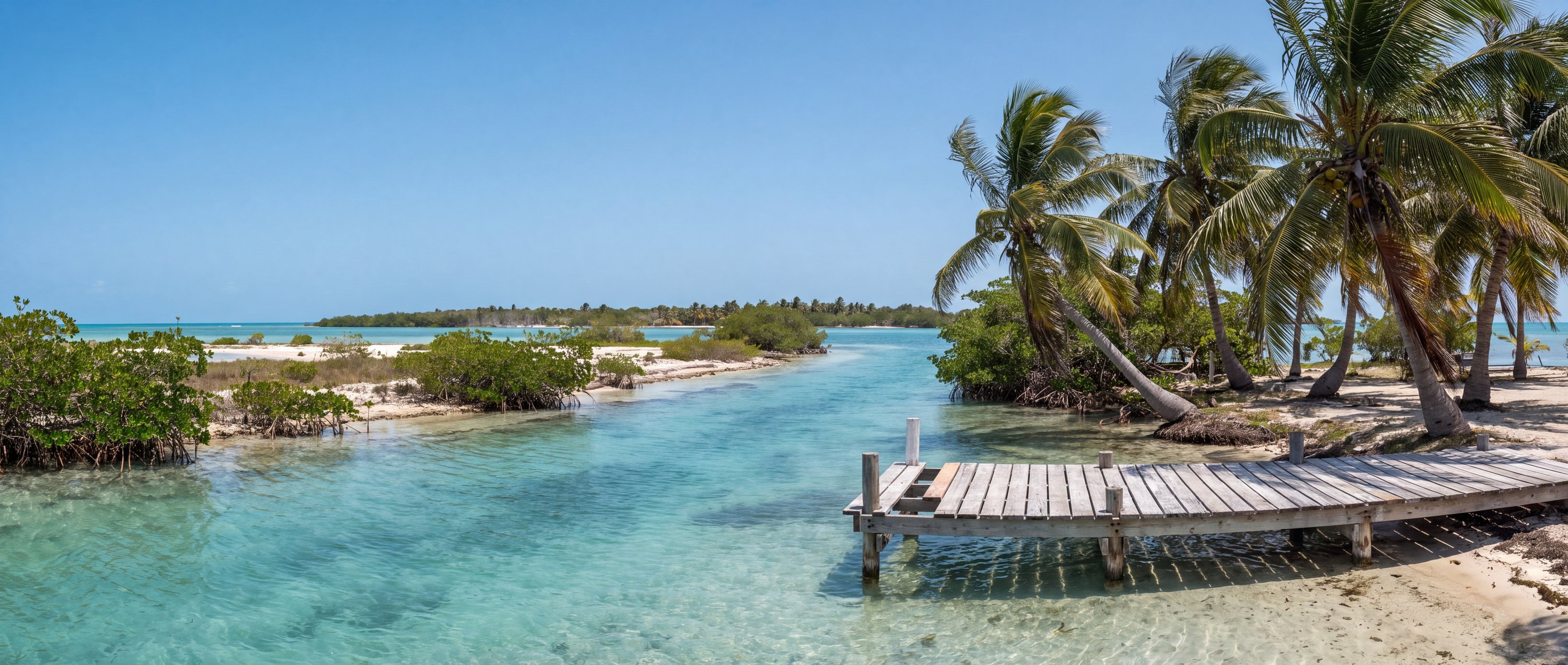
A narrow channel dredged through Caye Caulker in the 1960s, now the island's social hub for swimming and cliff-jumping into clear Caribbean water. The sandy cut separates the caye's quieter north side from its small village center.
- Country
- Belize (BZ)
- Region
- North America
- Administrative area
- Belize District
- Timezone
- Not available from source
- Source family
- Beach Atlas editorial record
- Source updated
- Snapshot date only
Names in the record
The Split
No alternate names were supplied by the source.
Awaiting editorial review
Not yet recorded for this beach
- Sand color and composition
- Water and swimming character
- Access and accessibility
- Facilities and lifeguards
- Seasonality and crowd pattern
- Current hazards and restrictions
- Live weather, tide and water-quality feeds
Source position
17.74610, -88.02720
The map uses the coordinate supplied by the cited record. Local access and water entry are not implied.
Direct provenance
Sources behind this record
The source’s own accuracy and completeness disclaimer applies. Submit a correction if this point represents an alias or duplicate.