North America · Illustrated record
Tulum Beach
Tulum · Mexico

The short version, from the cited sources
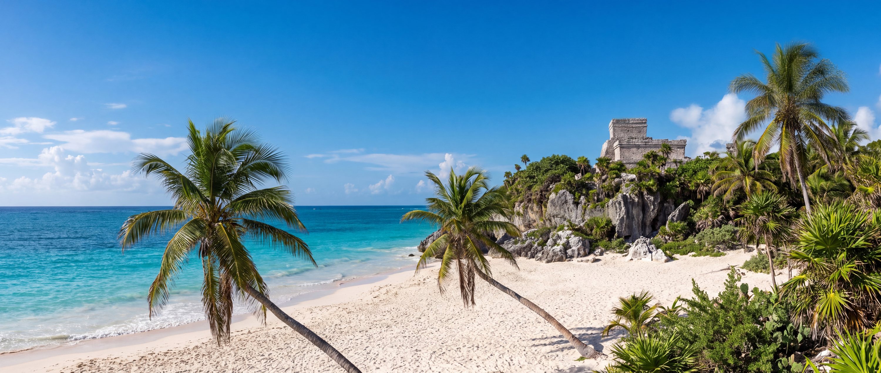
The beach at Tulum runs beneath the only major Maya city built directly on the Caribbean: El Castillo and the Temple of the Frescoes stand on a low cliff above white sand and turquoise water. The walled port town traded across the Yucatan for centuries before contact, and its clifftop setting now defines one of Mexico's most photographed coastlines. Seasonal sargassum seaweed arrivals and heavy visitation are the modern realities of the site.
- Country
- Mexico (MX)
- Region
- North America
- Sand
- White
- Water
- Warm turquoise caribbean water
- Administrative area
- Tulum
- Timezone
- America/Cancun
- Source family
- GeoNames
- Source updated
- 2018-01-30
Names in the record
Tulum Beach
- Tulum beach
Awaiting editorial review
Not yet recorded for this beach
- Access and accessibility
- Facilities and lifeguards
- Seasonality and crowd pattern
- Current hazards and restrictions
- Live weather, tide and water-quality feeds
Source position
20.20772, -87.43063
The map uses the coordinate supplied by the cited record. Local access and water entry are not implied.
Direct provenance
Sources behind this record
The source’s own accuracy and completeness disclaimer applies. Submit a correction if this point represents an alias or duplicate.
- GeoNames Gazetteer ExtractGeoNames ↗
Beach features T.BCH and T.BCHS from the dated global dump; supplied as-is by GeoNames.
Creative Commons Attribution 4.0 · Retrieved 2026-09-02 - Wikipedia beach articlesWikimedia Foundation ↗
Encyclopedia articles used for the editorial summary of illustrated records; the per-record citation links the specific article.
Creative Commons Attribution-ShareAlike 4.0 · Retrieved 2026-10-04