Oceania · Illustrated record
Victory Beach
Otago Peninsula · New Zealand
The short version, from the cited sources
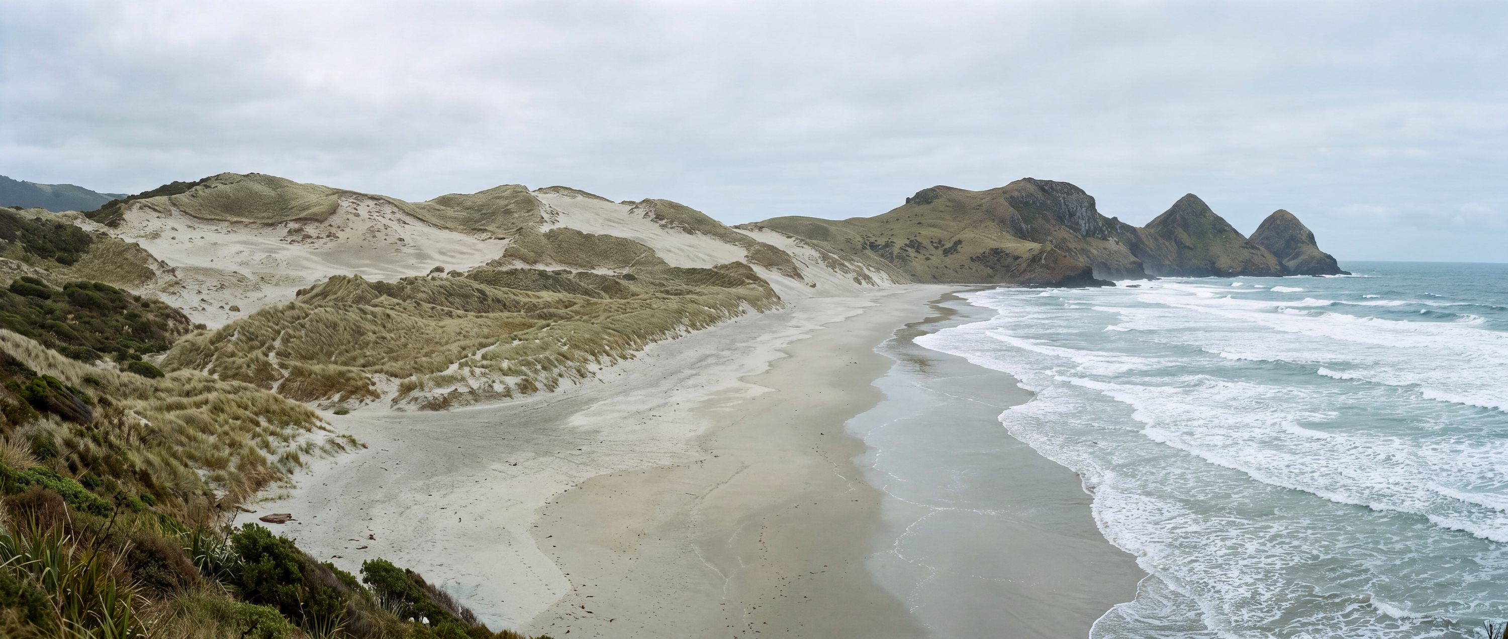
The longest beach on the Otago Peninsula, backed by an unusually large dune system at Okia Flat and reached only on foot. Named after a ship wrecked here in 1861. Sea lions and occasionally elephant seals rest on the sand.
- Country
- New Zealand (NZ)
- Region
- Oceania
- Sand
- Pale grey-gold
- Water
- Cold exposed southern ocean
- Administrative area
- Otago
- Timezone
- Pacific/Auckland
- Source family
- GeoNames
- Source updated
- 2016-06-22
Names in the record
Victory Beach
No alternate names were supplied by the source.
Awaiting editorial review
Not yet recorded for this beach
- Access and accessibility
- Facilities and lifeguards
- Seasonality and crowd pattern
- Current hazards and restrictions
- Live weather, tide and water-quality feeds
Source position
-45.82838, 170.73010
The map uses the coordinate supplied by the cited record. Local access and water entry are not implied.
Direct provenance
Source behind this record
The source’s own accuracy and completeness disclaimer applies. Submit a correction if this point represents an alias or duplicate.
- GeoNames Gazetteer ExtractGeoNames ↗
Beach features T.BCH and T.BCHS from the dated global dump; supplied as-is by GeoNames.
Creative Commons Attribution 4.0 · Retrieved 2026-09-02