South Pacific · Field guide
Whitehaven Beach
Whitsunday Island · Australia
The useful short version
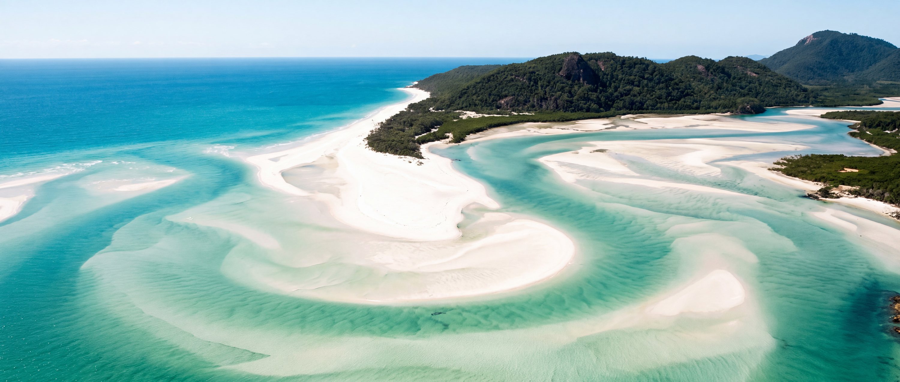
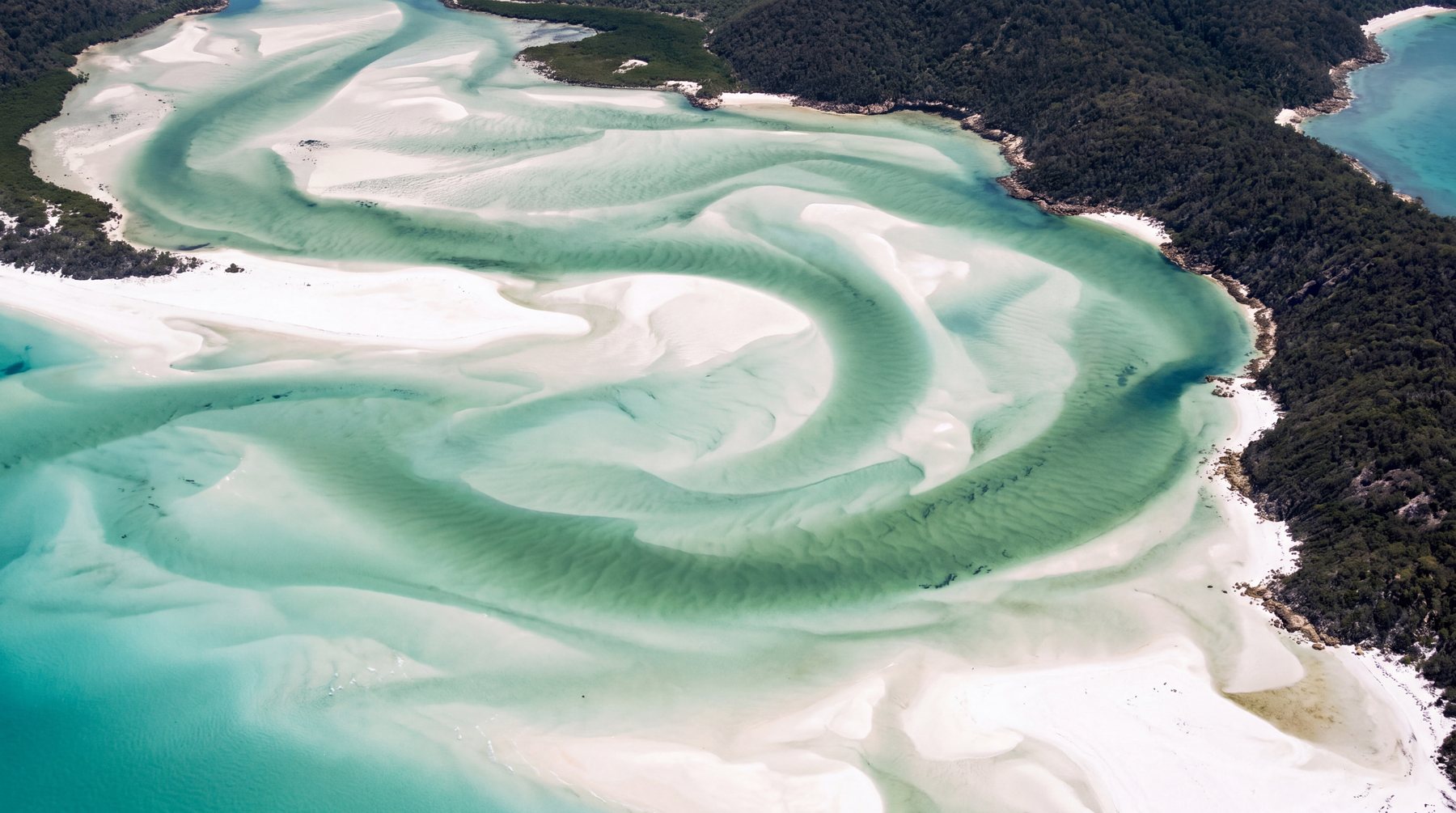
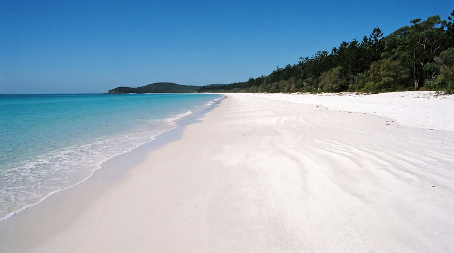
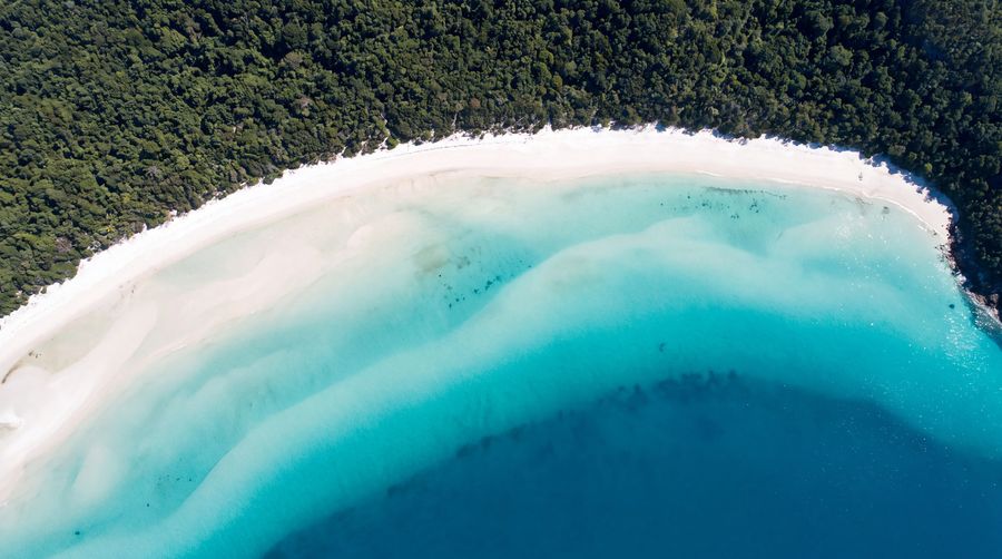
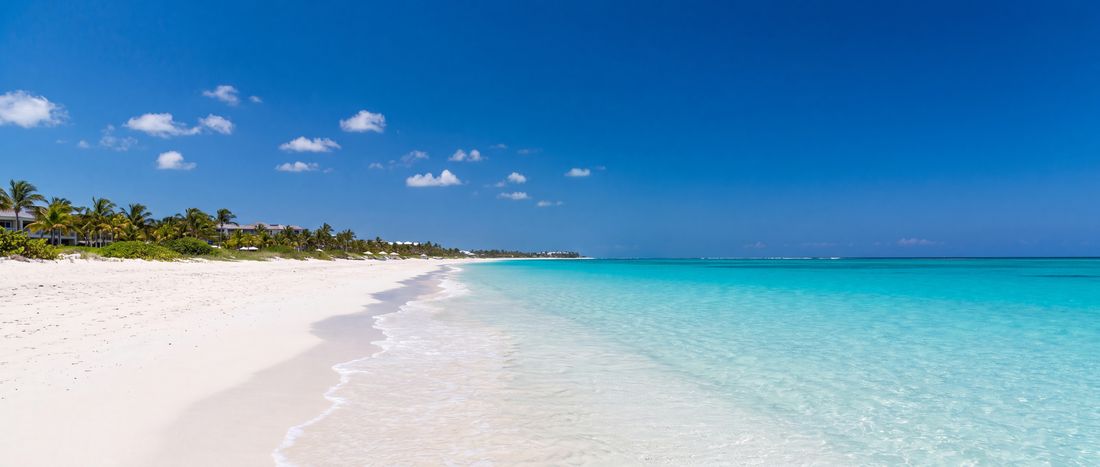
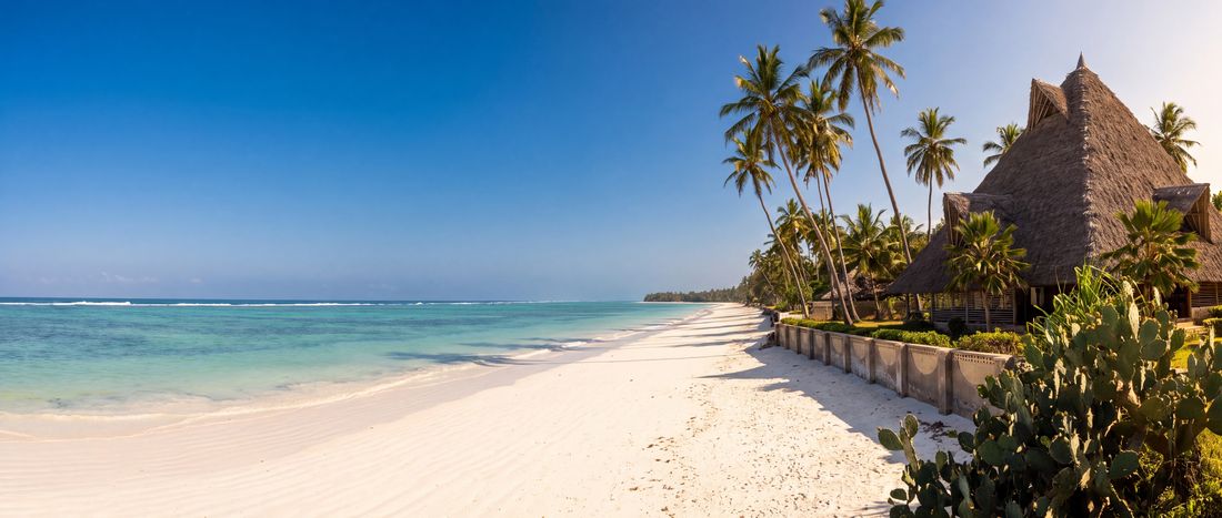
A long, bright silica-sand beach inside the Whitsunday Islands. The visual signature is the contrast between nearly white sand and layered aqua water—not a developed resort strip.
Photography as evidence
The character of Whitehaven Beach
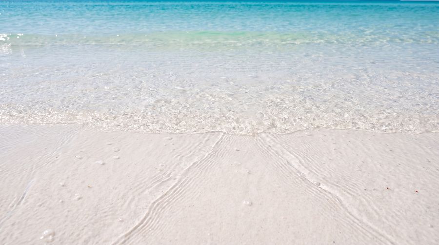
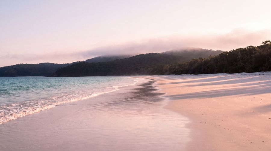
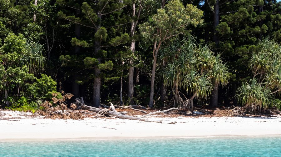
Each image is tied to this place and carries a reviewed commercial-use license record.
Conditions & seasonality
What the year does to the light.
The atlas holds no live feed for weather, water temperature, waves, tides or water quality at Whitehaven Beach, and will not print a believable default in place of one. Two things can be said honestly: the shape of the year at this latitude, and exactly where to check the day itself.
Before the sand
Access, use & constraints
A practical field is only as strong as its source and verification date.
- Access
- Boat or aircraft excursion; no road access
- Accessibility
- Operator and vessel dependent
- Parking
- Not applicable
- Lifeguards
- Not verified
- Crowd pattern
- Tour-boat arrivals create distinct daytime pulses
- Coast type
- Island beach within a reef system
- Orientation
- East-facing arc
- Surfing
- Not a primary surf beach
Read before visiting
What changes the decision
Marine conditions change
Seasonal marine stinger guidance may apply
Great Barrier Reef World Heritage Area context
Geography
-20.27861, 149.03639
This marker uses the verified coordinate in the record; no approximate fallback is shown.
Provenance
Sources behind this profile
Dynamic facts are not implied by these static sources. Retrieval and confidence stay attached to each record.
- Whitehaven BeachWikipedia contributors ↗
Used for geographic identity and the beach’s silica-sand description; coordinate cross-checked with OpenStreetMap.
Verified Secondary · Retrieved 2026-09-01 - OpenStreetMap place and coordinate dataOpenStreetMap contributors ↗
Coordinates checked through the Nominatim service; map data remains attributable to OpenStreetMap contributors.
Verified Secondary · Retrieved 2026-09-01
Continue by relationship
Similar context, different coast
Related records share geography, sand character or activities. They are not random links.
- Sand
- White
- Water
- Clear tropical water; swell varies
- Sand
- White
- Water
- Clear tropical water;...
- Sand
- White
- Water
- Warm reef-influenced water;...