Oceania · Illustrated record
Wineglass Bay
Freycinet Peninsula · Australia

The short version, from the cited sources
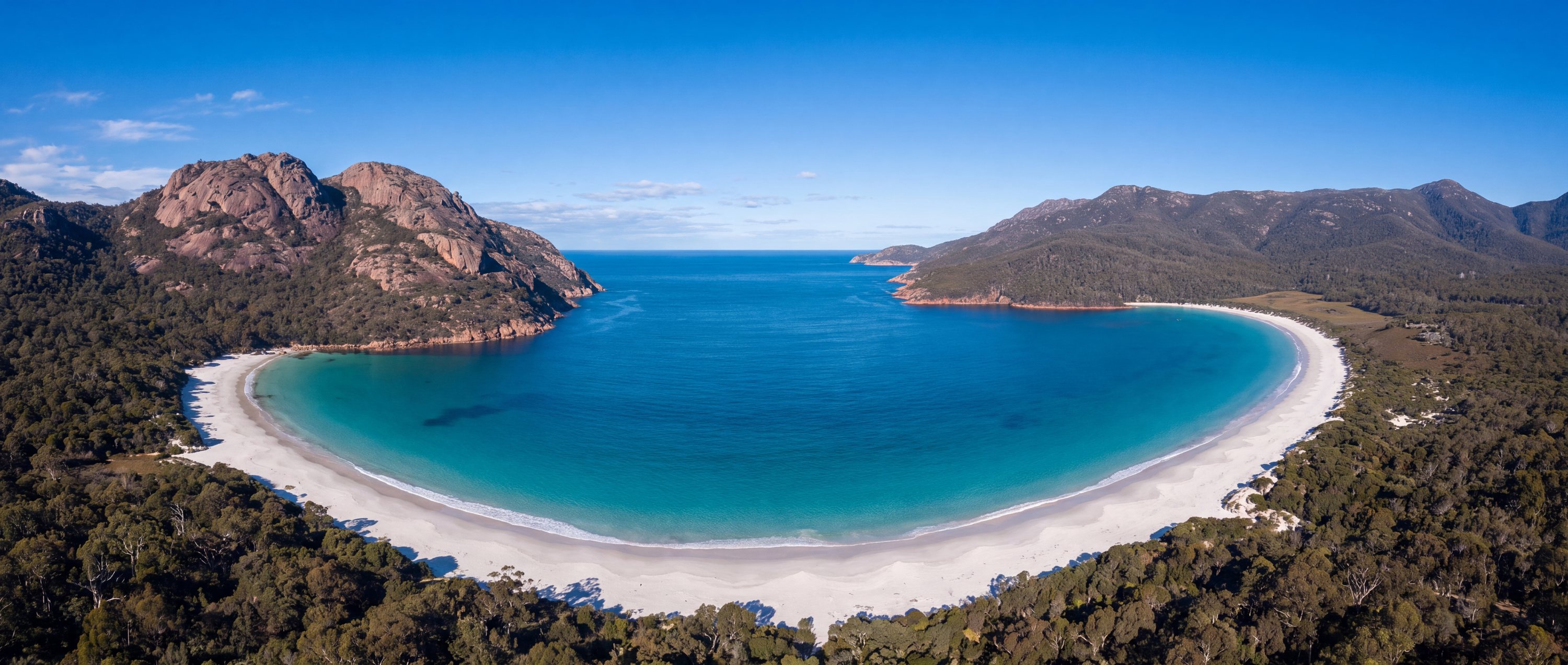
Wineglass Bay is a near-symmetrical arc of pale sand and clear water on Tasmania's Freycinet Peninsula, enclosed by pink-granite ridges within Freycinet National Park. There is no road to the sand: most visitors climb to the saddle lookout between the Hazards for the classic view, then continue down a bush track to the beach itself. The setting is protected, undeveloped and weather-exposed, which is precisely its appeal.
- Country
- Australia (AU)
- Region
- Oceania
- Sand
- White
- Water
- Clear, cool tasman water
- Administrative area
- Freycinet Peninsula
- Timezone
- Not available from source
- Source family
- Beach Atlas editorial record
- Source updated
- Snapshot date only
Names in the record
Wineglass Bay
No alternate names were supplied by the source.
Awaiting editorial review
Not yet recorded for this beach
- Access and accessibility
- Facilities and lifeguards
- Seasonality and crowd pattern
- Current hazards and restrictions
- Live weather, tide and water-quality feeds
Source position
-42.16500, 148.30100
The map uses the coordinate supplied by the cited record. Local access and water entry are not implied.
Direct provenance
Source behind this record
The source’s own accuracy and completeness disclaimer applies. Submit a correction if this point represents an alias or duplicate.
- Wikipedia beach articlesWikimedia Foundation ↗
Encyclopedia articles used for the editorial summary of illustrated records; the per-record citation links the specific article.
Creative Commons Attribution-ShareAlike 4.0 · Retrieved 2026-10-04