

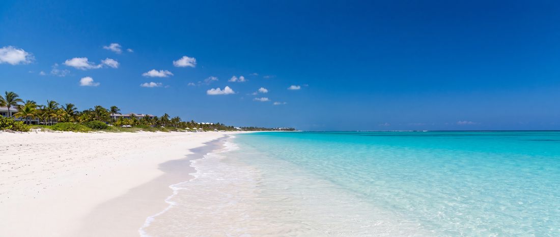
- Sand
- White
- Water
- Clear tropical water;...

island field guide
The main visitor island of Turks and Caicos, with a long developed north shore and extensive shallow turquoise water.
Climate context
Dry-season and hurricane-season patterns matter; real-time marine and storm advisories should come from official providers.
Getting around
Providenciales International Airport is the principal gateway. Beaches remain public below the high-water mark, while practical access points vary.
The coast itself
The coastline as it actually looks, from the places named on this page.


Where and when
Both panels are drawn from facts the atlas holds: recorded coordinates and the latitude itself. Neither is a forecast.

Launch coverage
Coverage grows by reviewed entities, not automatically generated locality pages.
The rest of this coast
8 beach records sit within 60 km of this coordinate. The nearest are listed below with their distance; most carry position and provenance only, and say so on the page.
Destination provenance
Used for public access, setting and general beach character; dynamic resort details are not imported.