
.jpg)
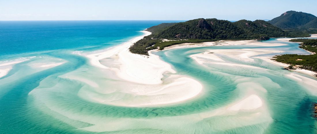
- Sand
- White
- Water
- Clear, shallow tropical water;...

region field guide
A Queensland island group where protected reef waters, silica sand and sailing routes meet.
Climate context
Tropical marine conditions vary by wet and dry season; current wind, marine warnings and stinger guidance should be checked before travel.
Getting around
Access is primarily by boat, ferry or aircraft through the Whitsunday coast. Individual beach access varies by operator and park rules.
The coast itself
The coastline as it actually looks, from the places named on this page.


Where and when
Both panels are drawn from facts the atlas holds: recorded coordinates and the latitude itself. Neither is a forecast.

Launch coverage
Coverage grows by reviewed entities, not automatically generated locality pages.
The rest of this coast
81 beach records sit within 60 km of this coordinate. The nearest are listed below with their distance; most carry position and provenance only, and say so on the page.
Destination provenance
Used for geographic identity and the beach’s silica-sand description; coordinate cross-checked with OpenStreetMap.