South Pacific
Whitehaven Beach
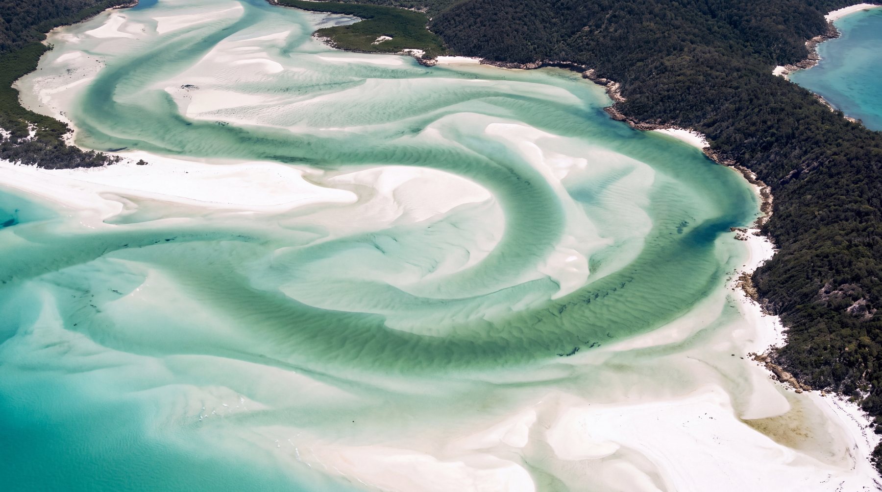
A long, bright silica-sand beach inside the Whitsunday Islands. The visual signature is the contrast between nearly white sand and layered aqua water—not a developed resort strip.
Open field guide →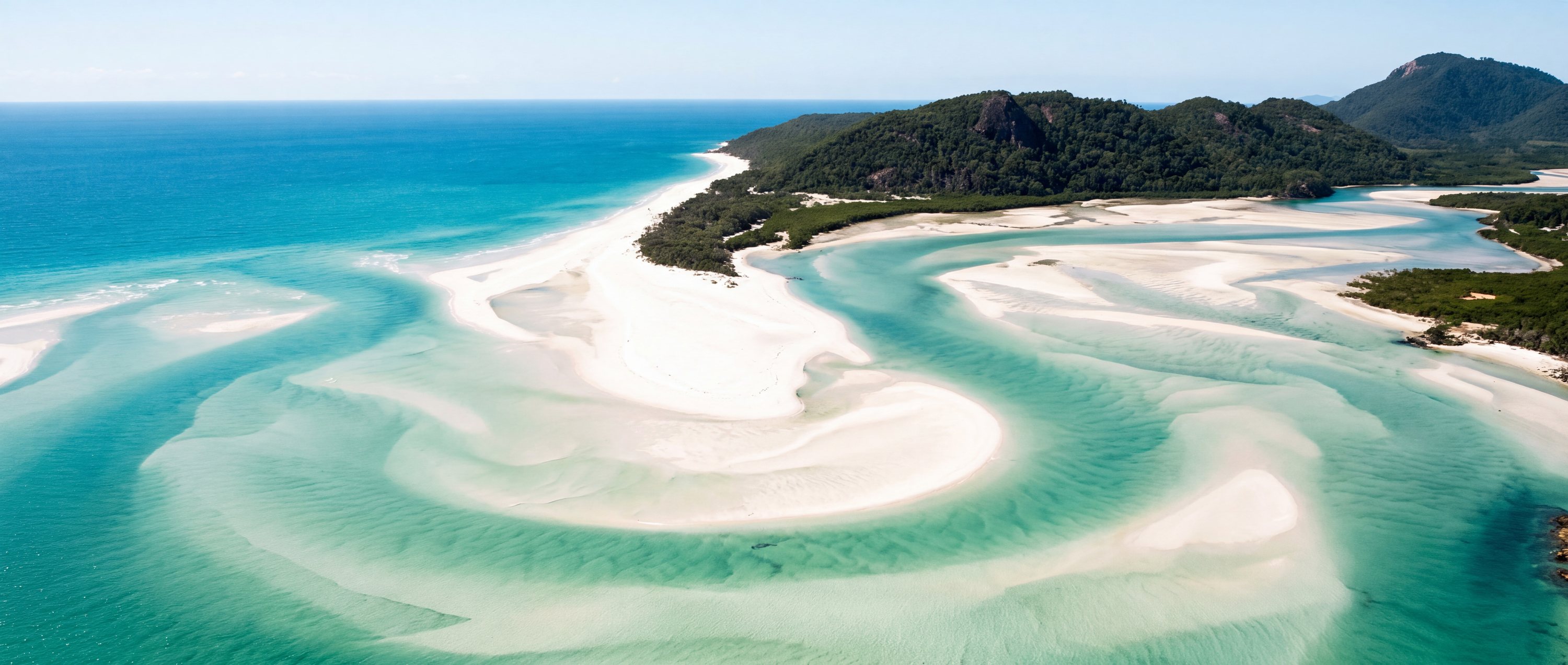
A living reference to the world’s shorelines
Water, sand, season, access, swimming, wildlife and the small practical facts that usually take ten tabs to find.
Start here
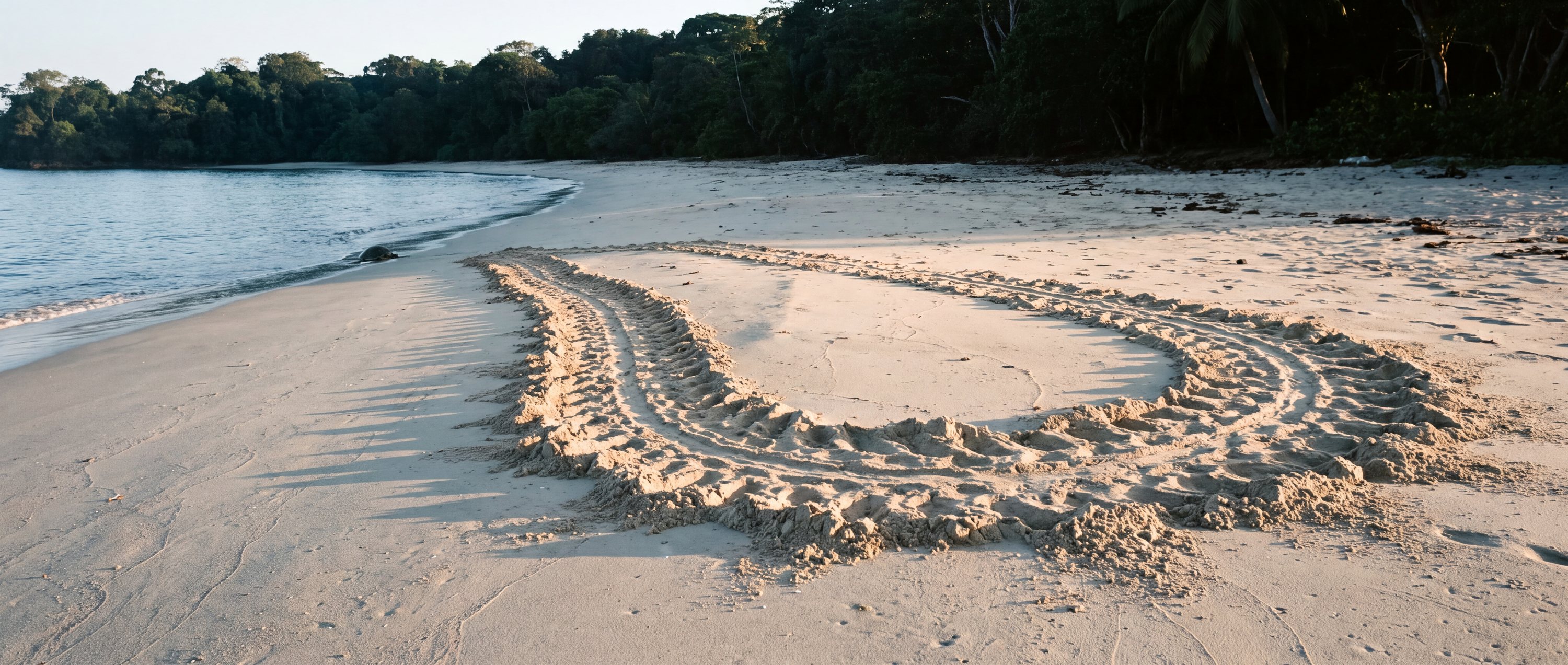
Reefs you can swim to from the sand, shores built out of black lava, beaches a turtle comes back to. Every beach inside says what it is and when to be there.
A database, not a listicle
Every beach is treated as a place with geography, conditions, access, amenities, activities, environmental context and field-level sources—not as a ranking with a paragraph attached.
How the atlas is built → Geographic identity
Canonical place, local names, coordinates and destination hierarchy.
 Beach character
Sand, water, coast type, orientation and the features visible on the ground.
 Practical access
Parking, facilities, accessibility, rules, transport and nearby places.
 Source confidence
Publisher, verification date, freshness status and honest unknowns.
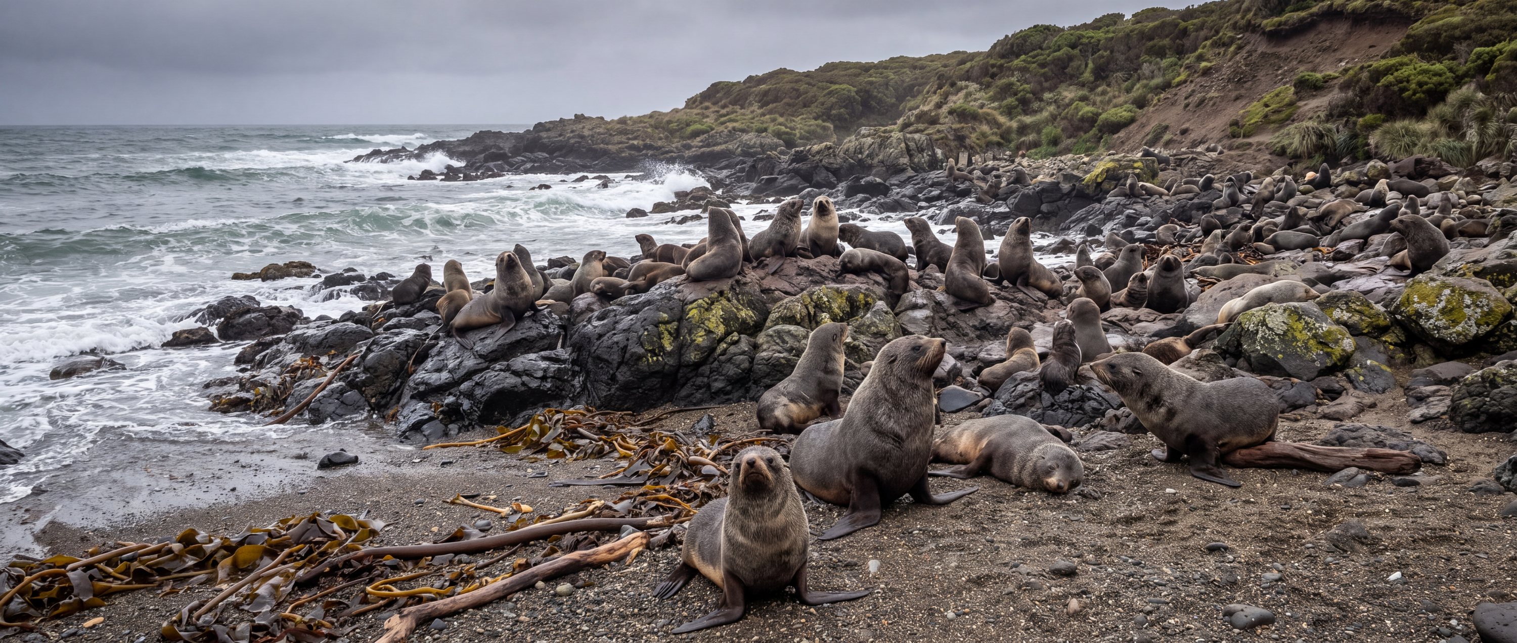
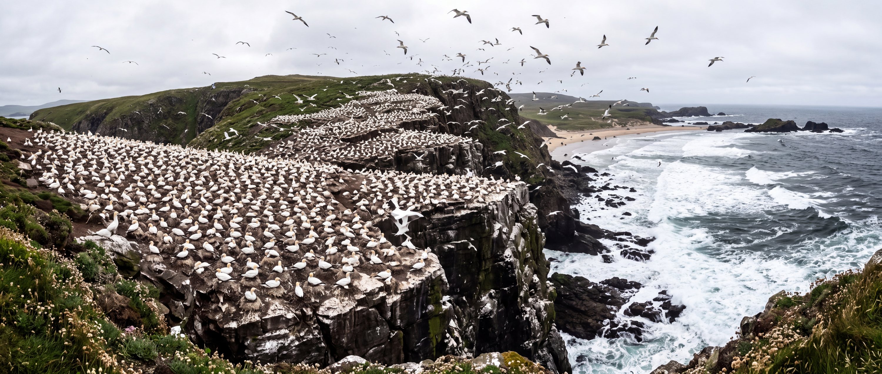
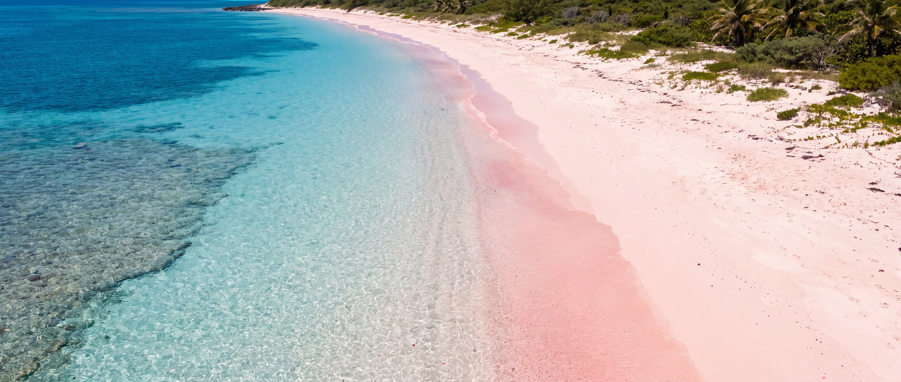
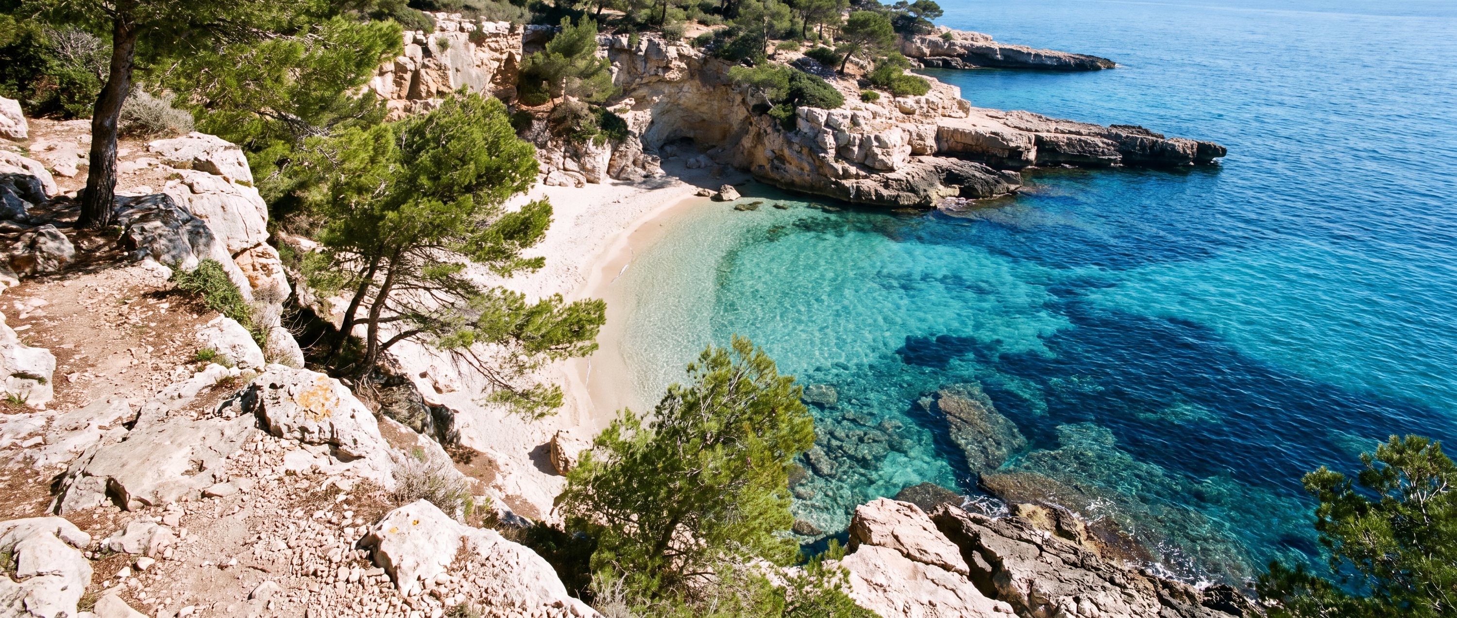
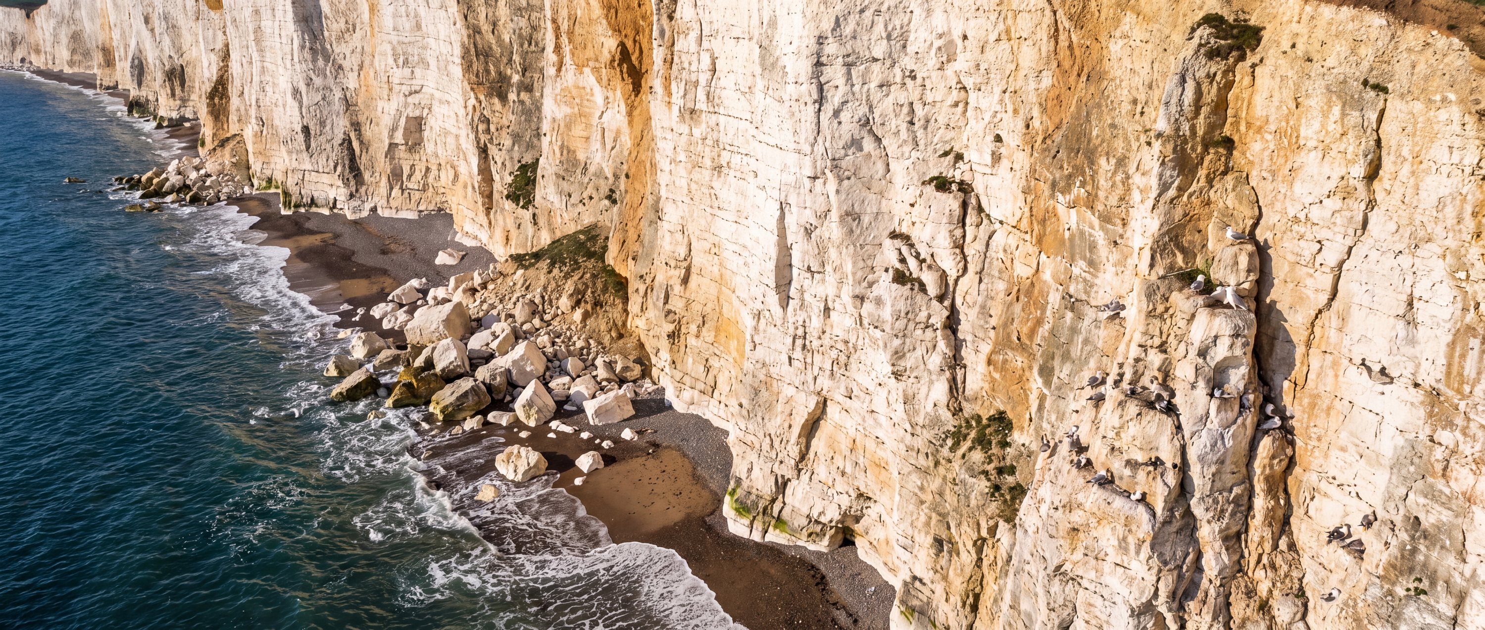
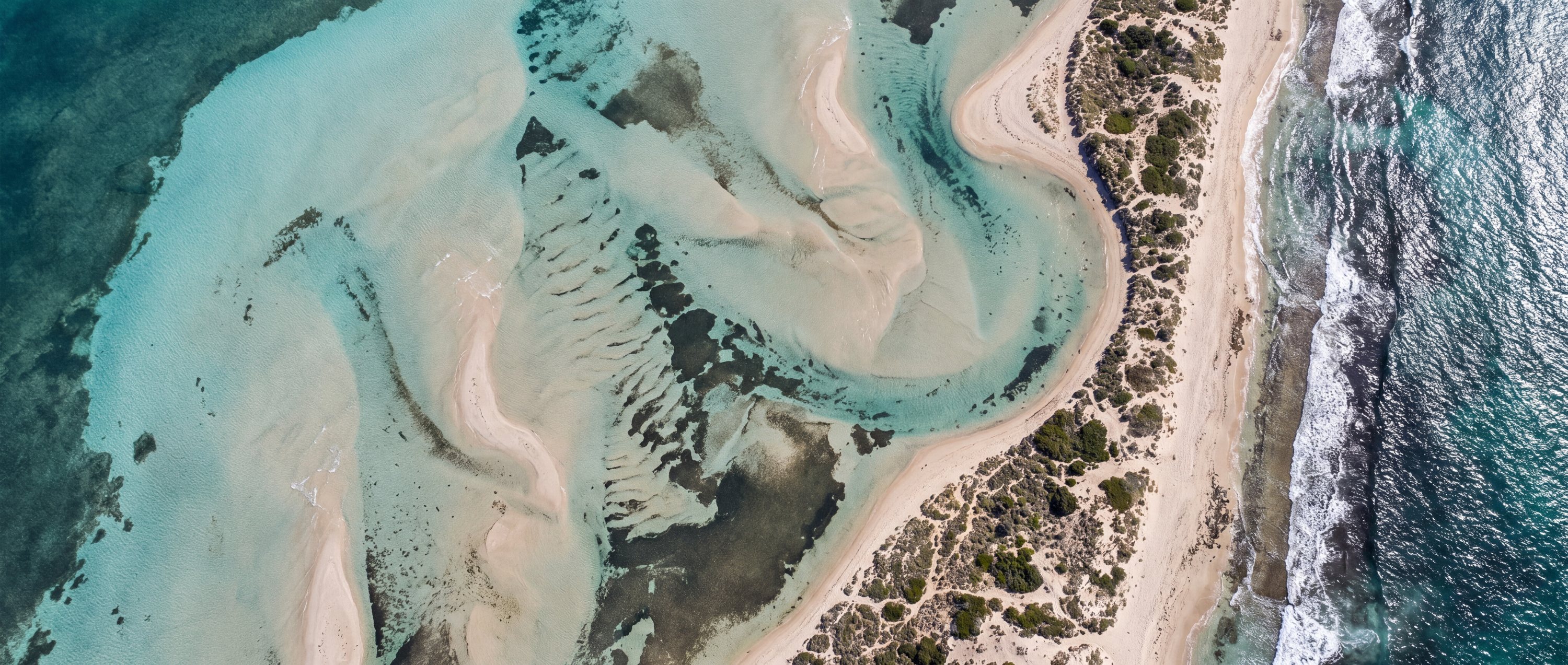
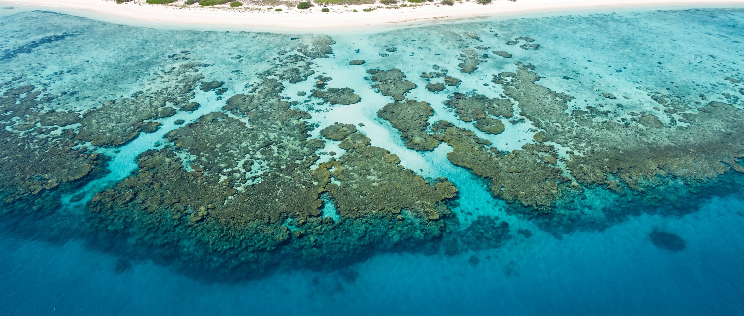
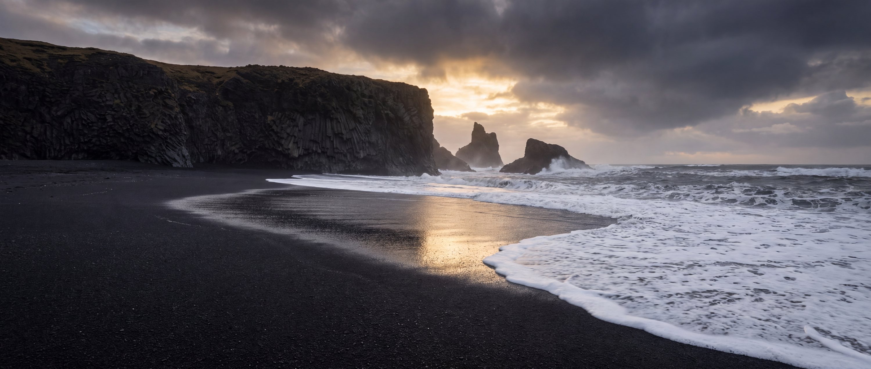
Each row is shown with a licence-checked photograph of a record in the atlas: Hill Inlet, Whitsunday Island, Australia; Reynisfjara, looking toward Dyrholaey, Iceland; Grace Bay, Providenciales, Turks and Caicos Islands; Simon's Town, False Bay, South Africa. Creators and licences are listed under image credits.
Six coasts, six different decisions
A visual resemblance does not make two beaches interchangeable. Open the record to see how access, exposure, safety and protected habitat change the visit.
A long, bright silica-sand beach inside the Whitsunday Islands. The visual signature is the contrast between nearly white sand and layered aqua water—not a developed resort strip.
Open field guide →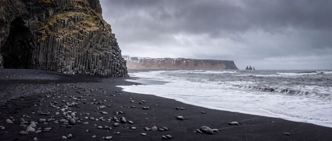
A volcanic black-sand shore framed by basalt columns and the Reynisdrangar sea stacks. It is a place to observe the North Atlantic—not a conventional swimming beach.
Open field guide →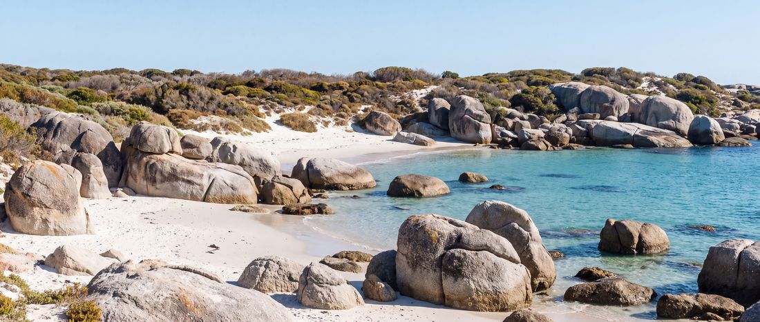
A sheltered granite-cove beach within Table Mountain National Park and one of the best-known places to observe endangered African penguins under managed conservation rules.
Open field guide →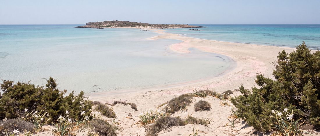
A shallow lagoon and sandy islet off southwest Crete, recognized for clear water and locally pink-toned shell fragments rather than uniformly pink sand.
Open field guide →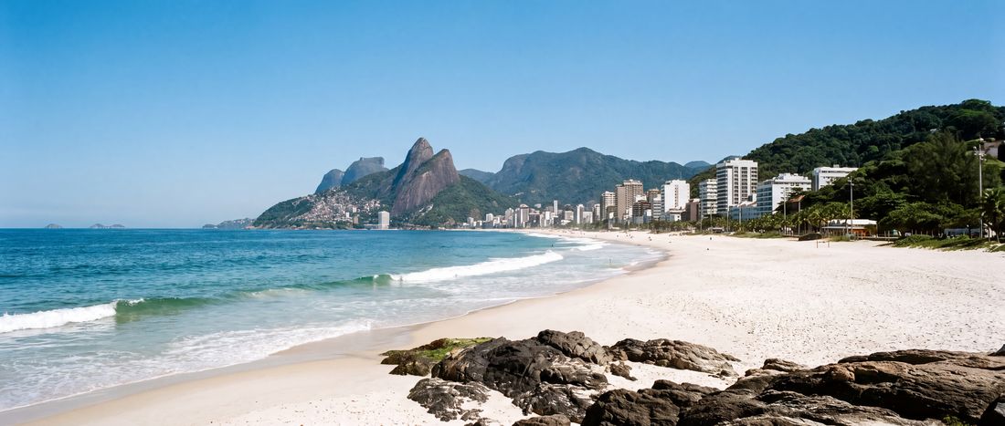
An intensely urban beach where neighborhood culture, mountain views, football, exercise and Atlantic surf share the same long strip of sand.
Open field guide →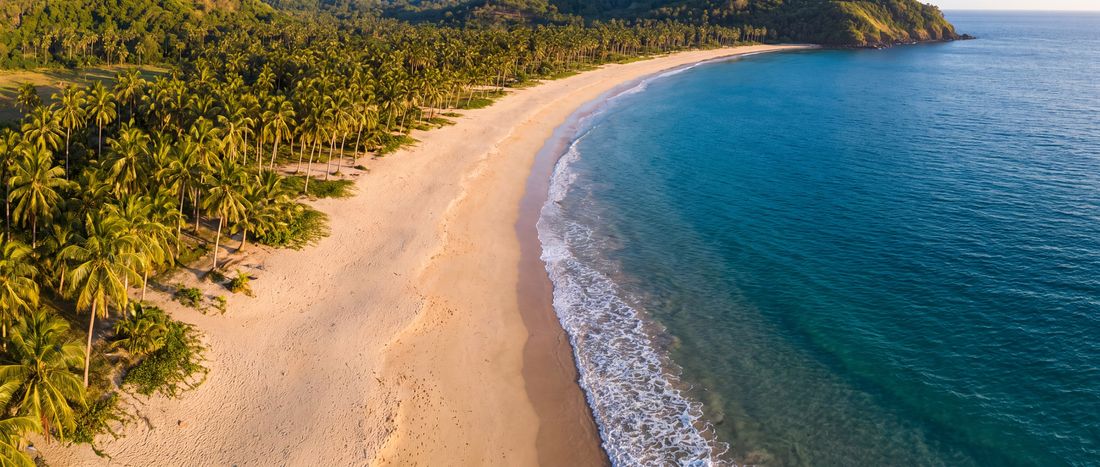
A long, gently curving beach north of El Nido where the dominant impression is scale: a broad run of sand, coconut-backed land and a low headland.
Open field guide →Explore geographically
Coordinates, not vibes
Explore 26,424 sourced beach identities at their recorded coordinates. Zoom from global clusters to individual coastlines, or use the complete text directory.
Open the world map →Learn the shoreline
Editorial content supports the database: short, sourced explanations that make the structured fields more useful.
 Sand & geology · 6 min
The short answer is basalt. The useful answer starts with how volcanic rock becomes a shoreline.
 Water safety · 8 min
A beach can look calm in a photograph and behave very differently at the waterline.
 Water science · 7 min
Clarity is not a single permanent property. Light, sediment, plankton, depth and the seafloor all change what the eye sees.
Recently checked
26,424 deduplicated beach identities · 787 photographed editorial profiles · 993 licensed place-specific images · field-level unknowns preserved
Audit the method →